
Where Ponca City Neighbors Appear
The public record around a Ponca City address is a collection of narrower sources. Kay County parcel cards show land records and a current owner field. Clerk deeds and plats show recorded transfers and lot or block context. Historic directories and Sanborn maps can describe an earlier block. City records may show a project or public participation. A field about an owner or an applicant does not establish who occupies a house today, and the research found no official citywide household or neighborhood-member directory.
| Block Source | What It Shows About a Block | Access |
|---|---|---|
| actDataScout parcel cards | Each parcel’s owner, value, legal description, map, and possible sale data | Free county-linked property search; live card fields vary |
| Kay Mapping and tax maps | Parcel relationships and address context | Assessor office and map or data requests; public viewer URL not documented |
| Kay Clerk plats and deeds | Lot, block, subdivision, recorded owners, and transfers | Modern index, historical index, courthouse, or request |
| Ponca permits | Addressed construction or change activity | Document Center monthly reports and Building Services request |
| Voter portal or file | Public registration, district, and history fields where law allows | Name-and-DOB portal or state request; no public street browse |
| 1930 and 1932 directories | Street-organized historical occupants and businesses | OHS, library, on-site, or licensed access |
| City boards and minutes | Public planning, historic, and board participants or decisions | City archive or Clerk; not a household roster |
An owner’s mailing address may be a tax routing address, a post-office box, another property, or an out-of-town location. It is a lead for checking the parcel and deed chain, not a shortcut to naming current neighbors.
Build a Ponca City Neighbor Block
Kay County does not document a direct public GIS viewer, parcel-click procedure, or radius tool. The record-backed method begins with an address or parcel ID from actDataScout, then uses Mapping assistance, legal descriptions, plat lot and block numbers, and neighboring addresses to define the immediate block. This avoids inventing a map feature that the county has not published and keeps the work tied to individual parcel records.
- Find the subject parcel in the county-linked property search and note its situs address, parcel ID, addition, block, lot, or section-township-range description.
- Make a small block table with the subject parcel, adjacent lot or block numbers, street frontage, neighboring addresses, and each legal description that can be verified.
- Search each parcel separately in actDataScout. Keep current owner, value, map, sale details, and any mailing-situs difference as distinct fields.
- Search Kay County Clerk plats and deeds by legal description, owner or grantee, book/page, or instrument number to document recorded transfers.
- For an older block, compare the legal description with 1930 or 1932 street directories and Sanborn sheets before drawing a historical conclusion.
That process stays focused on the immediate block. For a full named-street chain of parcel, deed, voter limitation, and reverse-directory work, use the Ponca City street directory.
Ponca City Mapping Has Limits
The Kay County Mapping page says the department maintains GIS and updates parcels for sales, new subdivisions, redistricting, and road changes using deeds, surveys, and subdivision plats. It also handles E-911 addressing. The department reports 30,377 parcels, eight municipalities, and roughly 589,440 acres or 921 square miles. This geographic layer can help reconcile a road access point, parcel, and legal land description.
The county says its tax maps are for tax purposes only and never used for conveyance. That distinction matters when mapping neighboring parcels: a tax map is useful context, but the deed and legal description are the title bridge. A Ponca City mailing address can sit on a county parcel or outside the incorporated city, so confirm jurisdiction with the parcel and the city or county office rather than the mailing name alone. GIS data costs $50, a rural plat book costs $40 plus mailing, plats are $1 per page, colored aerials are $5, and wall maps are $25. No official source reviewed supplied a public viewer URL, radius or buffer control, layer list, parcel-click behavior, or export function.
Note: Ponca City is in Kay County, but Newkirk is the county seat, so county parcel questions go to the Newkirk Assessor and Mapping office.
Ponca City Block Deeds and Plats
The Kay County land-record index begins in January 1973 and adds records in real time. Its advanced fields cover party name or business name, party type, book and page, series, instrument number and type, recorded dates, legal description, quarter-quarter, section, township, range, addition, block, and lot. That is why a block table should retain legal descriptions rather than rely only on adjacent street numbers.
Search the current owner or grantee with the legal description, then obtain or request the relevant deed. The grantor becomes the prior owner to investigate in the earlier chain. If the trail crosses the modern cutoff, the Kofile historical index supplies General Index entries for 1893 through 1920, deeds for 1920 through 1976, Miscellaneous Index entries for 1893 through 1976, and Patent for 1903. A recorded deed shows a land interest and transfer, not a full list of current people at the address.
Ponca City Voter Checks
The Oklahoma Voter Portal is intentionally narrow. It requires a first name, last name, and date of birth. Its public landing page does not offer street, ZIP, party, voter-ID, or export browsing. A valid match can involve public registration fields such as name, address, affiliation, voter ID, precinct, districts, registration date, and participation history, but it is not a certified identity record and does not show ballot selections.
For an existing broader record, the State Election Board’s OORA request form asks for purpose, date range, nature of records, detailed search terms, and requester details. The agency does not have to create a custom report. Kay County Election Board maintains local election records and can be contacted at 580-362-2130. Addresses for ACP participants and other restricted voter classes may be protected, and Social Security and driver-license data remain confidential. A missing result can be a protection, not an invitation to keep testing a person’s record.
Gateway and Whitworth Civic Geography
Ponca City identifies Gateway District and Whitworth District resources through its Historic Resources material. The district maps and design guidance are useful for understanding historic geography around an address. Historic-preservation files can connect an address to an owner, applicant, architect, or board action. They do not make a district label proof that someone currently lives at a parcel, and the research did not locate a verified member list for either district.
The Ponca City Historic Resources page is the source for the Gateway and Whitworth district references.
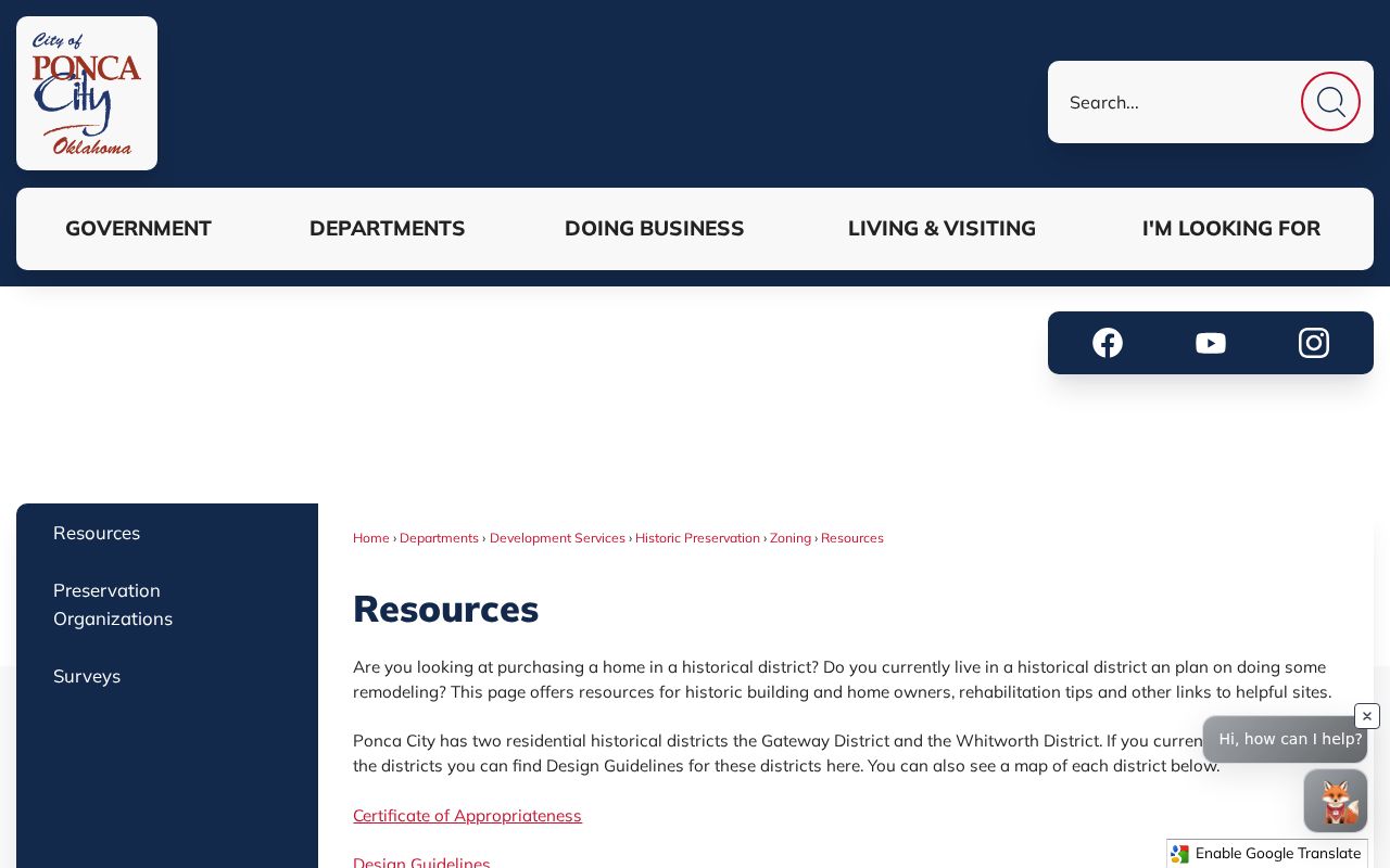
District materials add civic geography to a block search, while the parcel card and deed remain the records for land and recorded ownership.
| Local resource | Contact or access route | Useful evidence | What it does not provide |
|---|---|---|---|
| Gateway District resources | Ponca City Historic Resources maps and guidelines | Historic-district context and possible preservation-file leads | A current household or association roster |
| Whitworth District resources | Ponca City Historic Resources maps and guidelines | Historic-district context and possible preservation-file leads | A verified member directory |
| Historic Preservation and Planning | City archive, public meetings, or City Clerk records route | Public applications, minutes, and dated decisions | Proof that every participant lives nearby |
Ponca City Archive Names Need Context
The city archive search offers optional Keywords, an Archive selector, Time Period, Start Date, End Date, and Search. Available archive categories include City Commission, Planning Commission, Historic Preservation, Library Board, Board of Adjustment, Construction Appeals, and other civic bodies. The exact option inventory can change. Use a name together with a date, board, address, parcel, or related city document instead of treating a minutes mention as a residence match.
City Clerk and Finance records, at 516 E. Grand, hold official city records and route Open Records requests. The archive can add board appointments, preservation cases, planning documents, public contracts, and dated decisions. City board evidence documents public participation or an addressed project. It is not current household proof and it cannot fill the missing citywide neighborhood roster.
The city archive supplies the official civic-document source used in this Ponca City neighbors search.
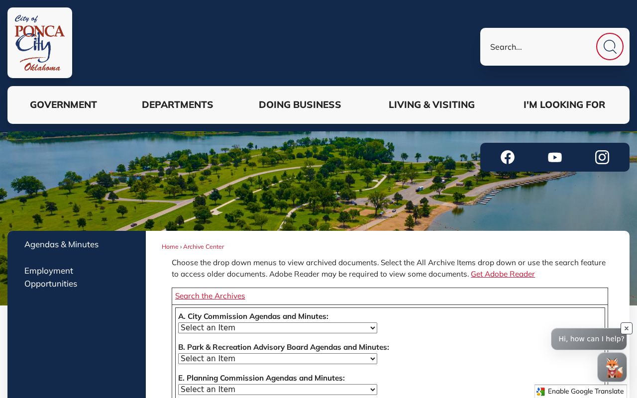
Keyword, archive, and date fields work best when they are paired with a known parcel or address from the block research.
Ponca City Main Street Participation
Ponca City Main Street lists board, committee, and investor participation for downtown civic and business activity. Its listed location is 400 E. Central, Suite 201G, and its phone is 580-763-8082. That is a practical contact channel for downtown civic involvement and public-facing activity, not a complete directory of the people who live near a downtown address.
The resource sits beside city boards, preservation files, library newspapers, school yearbooks, church bulletins, and civic-club notices as possible historical context. Current private congregation and block-watch rosters were not located in official sources. Avoid reconstructing them from scattered names.
The Ponca City Main Street about page is the source for this civic participation channel.
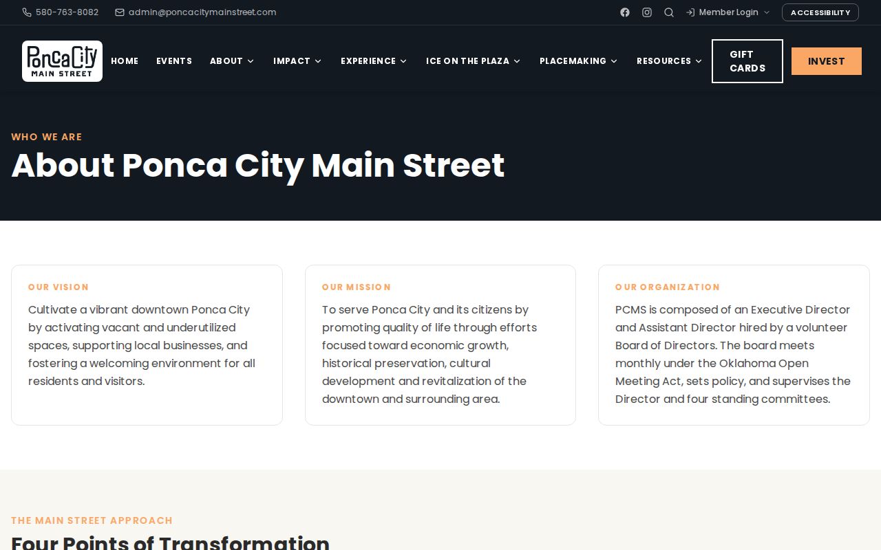
The image is a reminder that public civic involvement can be useful context without being evidence of who occupies a nearby address.
Official Sources and Neighbor Tools
Official sources retain the custodian, date, record number, and scope needed to check a block finding. Commercial neighbor tools can combine address, marketing, and public-file data, but may be stale, duplicate people, or expose information that should remain protected. A commercial result should be treated as an unverified lead, not as a complete block roster.
| Source category | Strength | Limit for a block search |
|---|---|---|
| Assessor, Clerk, city, and state records | Named custodian, documented record type, date, parcel or record number | Each source covers only its own purpose and may protect fields |
| Library, OHS, directories, and maps | Historical address, building, or community context | Coverage varies by year and does not establish a present household |
| Commercial neighbor tools | May suggest a lead to verify | Can be stale, duplicated, incomplete, or wrong |
When a parcel card, deed, archive item, or voter record appears wrong, take the record number and supporting material to the custodian that created it. Changing a private profile does not amend the Kay County or city record beneath it.
Limits on Ponca City Neighbor Research
Public records at the block edge do not reveal every renter, household member, utility or delivery customer, DMV record, sealed court party, protected voter, victim address, or private association member. Oklahoma’s Address Confidentiality Program uses a substitute address for qualifying participants, and ACP voter records are paper-only and not publicly released except by court order. Restricted voter records under 26 O.S. §4-115.2 can also limit address access. A parcel map describes geography, not all the people present.