
Trace a Ponca City Street Directory
Street-by-street research in Ponca City begins with a location, not a person’s name. The county’s property roll can tie that location to a parcel, owner, legal description, sale details, and a map. Clerk records then follow recorded interests in the parcel. Older directories can supply historical address context. Each source answers a narrower question, so an owner name, an address listing, and a registration record should be kept as separate findings until their dates and identifiers line up.
- Use the USPS address lookup to normalize the street number, directional, suffix, unit, city, state, and ZIP. USPS confirms delivery addressing, not that a person or business is there.
- Search the address in Kay County’s actDataScout property route, then retain the parcel ID and legal description with the situs address. The assessor card is the bridge from an address to land-record terms.
- Use the legal description, owner or grantee name, book and page, or instrument number in the Kay County Clerk deed path. Work back from a current grantee to the prior grantor when a recorded transfer is needed.
- Treat the Oklahoma voter tool as a check on one registered voter only. It requires first name, last name, and date of birth, and it does not offer a public street-browse screen.
- For older address context, consult the 1930 or 1932 street-organized directories through the library or OHS, then compare the result with the alphabetic and all-Kay volumes.
Note: A matching street address is useful evidence, but it does not turn ownership, registration, permit, and directory fields into the same kind of proof.
USPS Forms a Ponca City Address
Address punctuation and local shorthand can break a search. USPS provides By Address, By City and State, and Cities by ZIP choices. Its By Address form has optional Company and Apt/Suite/Other fields, requires Street Address, City, and State, and accepts an optional ZIP. When more than one delivery point is possible, use the unit. The result is a standardized starting form for later research, not a resident confirmation and not a statement about an incorporated city boundary.
For an older Ponca City street directory entry, retain both forms in the notes. Official research does not establish a citywide renumbering date. Try numbered streets written as words, directional forms such as E and East, and an older addition name before calling an address absent. A deed’s addition, block, lot, section, township, range, or other legal description is often more stable than the street spelling.
Ponca City Parcels by Address
Kay County links its real-property search to actDataScout for residential and commercial parcels. The county documents searches by account number, parcel identification number, address, owner name, subdivision, township, range, and section. A result can include current ownership, assessed and market value, improvement sketch, picture if available, legal description, sale information, and a map. The current owner, tax mailing route, and physical situs address can differ, so a mailing clue should not be treated as proof of occupancy.
| Field | Type | Required | Format/options |
|---|---|---|---|
| Account number | text | no | County account identifier. |
| Parcel identification number | text | no | Parcel ID; exact punctuation is not stated. |
| Address | text | no | Property or situs address. |
| Owner name | text | no | Name search; exact or partial behavior is not stated. |
| Subdivision | text/select | no | County subdivision value; live option list is not exposed. |
| Township | text/select | no | Legal land-search key. |
| Range | text/select | no | Legal land-search key. |
| Section | text/select | no | Legal land-search key. |
| Search | button | - | Live form control; label may vary by vendor. |
The assessor’s Newkirk office can confirm the parcel identifier, legal description, current ownership, and whether situs and mailing fields differ when an online card leaves a question open. That office is a better next step than inferring an unshown field.
Ponca City Street Directory Records
A Ponca City address produces several parallel record trails. The parcel card and deed index are the strongest trails for land and recorded ownership. Permits date physical work. The city archive gives dated civic documents. The voter portal verifies a person under its required fields, while historical directories put names and addresses in a particular publication year. None of those sources is a current household list for a whole street.
| Address-keyed record | Custodian | What it can show | Access route |
|---|---|---|---|
| Assessor card | Kay County Assessor | Parcel, owner, value, legal description, map, sale/sketch/photo, with possible mailing and situs distinction | actDataScout or Assessor office, 580-362-2565 |
| GIS and tax map | Kay Mapping | Parcel geography, tax-map context, and E-911 address work | Mapping page, map or data request; no public viewer URL documented |
| Deed and index | Kay County Clerk | Recorded parties, instrument type, legal description, book/page, and dates | Modern portal, historical index, counter, or request |
| Voter portal or file | State Election Board and Kay County Election Board | Registration, district, and history fields where law permits | Name-and-DOB portal or request for an existing record |
| Permit report | Ponca City Building Services | Work and status linked to main address and parcel | Monthly PDFs, department contact, or OORA request |
| Historical directory | Ponca City Library and OHS sources | Historical address, occupant, occupation, and reverse-directory context | Library, OHS, and some on-site or licensed access |
A parcel number and legal description connect the assessor, plat, and deed trail. A street name alone does not connect every system, and the county does not document a public whole-street search mode in actDataScout.
Ponca City Mapping Is Not Title
The Kay County Mapping Department says it maintains GIS from deeds, surveys, and subdivision plats and updates activity such as sales, new subdivisions, redistricting, and road changes. It reports 30,377 parcels across eight municipalities and about 589,440 acres, or 921 square miles. The scale is a reminder that a Ponca City mailing name can involve a city parcel, county parcel, or rural E-911 context.
Tax maps are public at the Assessor’s office, but the county expressly says they are for tax purposes only and never used for conveyance. A tax map helps orient the research; the deed and legal description carry the ownership record. The county describes GIS data for $50, a rural plat book for $40 plus mailing, plats for $1 per page, colored aerials for $5, and wall maps for $25. It does not document a direct public viewer, layer list, parcel-click function, radius tool, or export controls.
The official mapping page shows the county office that handles the Ponca City street-directory geography.
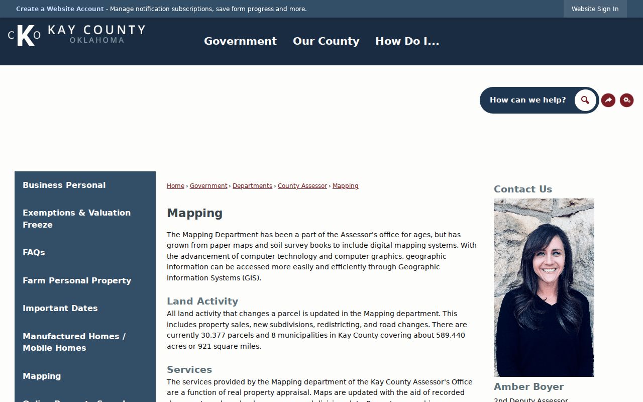
The image supports using Mapping for parcel and E-911 context, while leaving title and transfer questions to the deed record.
Ponca City Deeds Along a Street
The current Kay County land-record index begins in January 1973 and adds records in real time. Its advanced fields include name or business name, party type, book and page, series, instrument number and type, recorded start and end dates, legal description, quarter-quarter, section, township, range, addition, block, and lot. The index is presented as free to search, but scanned-image access can involve an account or subscription, and the county counter remains the copy fallback.
For each parcel on a street, start with the legal description from the tax record. Search the current owner or grantee and that description, then obtain the purchase deed when needed. Record the grantor as a prior owner and repeat the same search backward. Book/page and instrument numbers bridge an index result to a document. Deeds establish a recorded transfer, not whether a grantee occupied the parcel.
For earlier material, the Kay County Kofile index lists deeds for 1920 through 1976, the General Index for 1893 through 1920, Miscellaneous Index entries for 1893 through 1976, and Patent for 1903. Search its Type, Year, Parties, Last Name, First Name, Book, Volume, Page, and Account fields before relying only on the modern portal.
The modern land-record index is the source for the current portion of this Ponca City street directory trail.
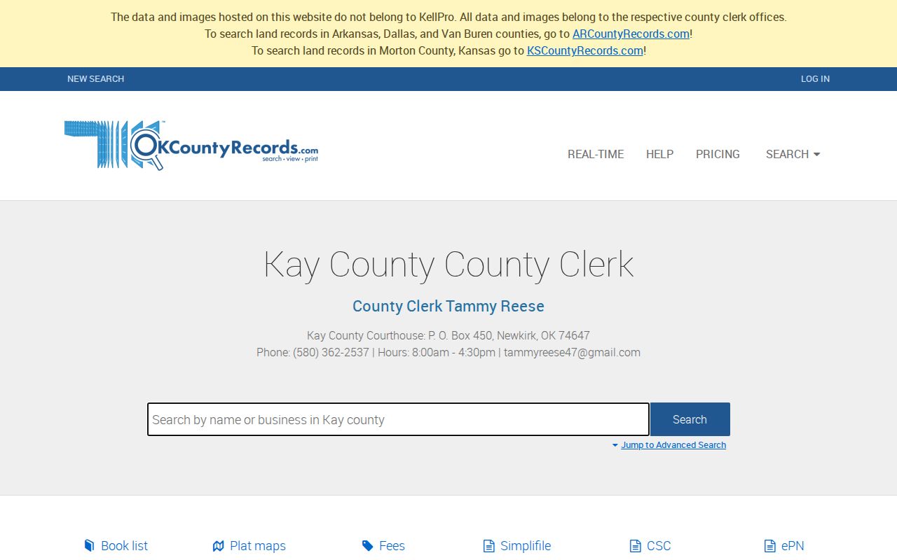
The January 1973 cutoff makes the historical index and courthouse books important whenever the address trail reaches an older instrument.
Ponca City Permits by Address
Ponca City Building Services is the address-based source for building, property-maintenance, and nuisance records. No interactive city permit-search portal was located. Monthly permit PDFs in the Document Center are the practical online route, and older or non-posted material goes through Building Services at 580-767-0383 or an Oklahoma Open Records Act request. The code hotline is 580-767-0331. Anonymous complaint details and other protected information can be withheld.
The January 2026 report includes Permit #, Main Address, Project Type, Workclass, District, Status, Parcel, Application Date, Issue Date, Expiration, Last Inspection, Finaled Date, Applied Online, Fee Total, Valuation, Sq Ft, Zone, and Assigned To. Those fields can date a remodel, addition, or other physical change. They do not identify all occupants, establish title, or turn an applicant into a current resident.
Ponca City Voter Checks by Name
The Oklahoma Voter Portal requires first name, last name, and date of birth for a registration lookup. It can return voter information for a matching registration, but its public landing page does not expose search by street, ZIP-wide browsing, a party dropdown, voter-ID search, or export. The portal is therefore not a street roster for a Ponca City block.
Oklahoma’s public-information notice identifies fields that can include name, address, affiliation, voter ID, precinct, districts, registration date, and election participation history, subject to protected-record rules. A broader existing-record request follows the State Election Board form and OORA procedures. The form asks for the purpose, date range, nature of the record, detailed search terms, and requester information, and the agency does not have to create a custom report. Kay County Election Board can answer local record questions at 580-362-2130.
Ponca City Reverse Street Directories
Historical reverse pages are the street-directory layer for an earlier Ponca City address. The documented 1930 and 1932 directories are street and business oriented, making them useful for an address-first check. The 1924 and 1926 books are alphabetic, while the 1938 and 1940 books expand to all Kay County. A later book can therefore contain a rural address that would not appear in an earlier Ponca City-only volume.
OHS guidance says reverse pages can show neighbors and owner status, but the actual fields vary by volume and should be inspected rather than assumed. The same source may use a spouse or widow notation and occupation or business notation. A directory entry is historical context, not a current residence proof. For collection locations, formats, and gaps such as 1928 and 1936 missing from the public library and 1934 unlocated, use the Ponca City directory book route.
Ponca City Address Terms
Addresses move between delivery, tax, map, and deed systems. Keeping the terms separate prevents a street directory result from saying more than the underlying record supports.
- Parcel
- A county-assessment unit tied to a property record and map context.
- Situs address
- The physical location of the parcel, which can differ from the owner’s tax mailing address.
- Plat
- A recorded subdivision plan that can identify an addition, block, lot, streets, and surrounding land.
- Legal description
- The land identifier used in deeds, often using addition, block, lot, or section-township-range terms.
- Criss-cross directory
- An address-organized historical directory that can be read from street to house number.
A legal description is particularly useful where an older form of a Ponca City address fails to match a modern street name. It connects the parcel card, plat, deed, and historical directory without claiming that all records use the same address wording.
Limits of a Ponca City Street Directory
An address search does not publish every household member, renter, utility customer, delivery customer, protected voter, or DMV record. The federal Driver’s Privacy Protection Act limits personal DMV information. An assessor card can show an out-of-town owner, a permit can name an applicant, and a voter registration can be protected or no longer reflect physical presence on a given date. Citywide household and neighborhood-member directories were not located in official Ponca City material.