
Previous Residents at a Ponca City Address
A backward address trail has several layers. Kay County recorded deeds establish transfers of an interest in land, while directories and census schedules can place households at an address in a particular era. Sanborn maps date the building setting, permits can date work, and newspapers or probate can help explain a disappearance. Each source has a different cutoff and purpose. A deed grantee is not automatically the person who lived there, and a directory listing should not be treated as proof of title.
| Source | Years It Covers | Where Held | What It Shows |
|---|---|---|---|
| Current Kay deed index | January 1973 to present | Kay County Clerk online | Parties, instrument type, recording date, legal description, book/page or instrument number |
| Historical clerk index | General 1893-1920; deeds 1920-1976; miscellaneous 1893-1976; patent 1903 | Kofile index, courthouse books, and research leads | Earlier grantor/grantee references and book information |
| Ponca City directories | 1924, 1926, 1930, 1932, 1938, 1940 | OHS, library, and official survey citations | Names, addresses, occupations, and varying street or county arrangements |
| Sanborn maps | 1894-1947 series cited; 1898 item online | Library of Congress, library, and survey files | Building footprint, use, material, and street geometry |
| Federal census | Public under the 72-year rule | NARA and approved genealogy access | Household composition on the enumeration date |
| Building permits | Modern reports; first archive year not located | Ponca City Building Services | Address, parcel, work, dates, valuation, and status |
Start with the address that exists now. If it does not search cleanly, begin at the current parcel card and use its legal description. That description is the bridge to a recorded deed, a plat, and older records where a modern street or ZIP form may not appear. The historical sequence is clear: the modern Kay index begins in January 1973, while the separate historical books cover General Index 1893-1920, Deeds 1920-1976, Miscellaneous Index 1893-1976, and Patent 1903.
Ponca City Previous Residents Start With a Parcel
Begin with the Kay County Assessor property search, which supports account number, parcel identification number, address, owner name, subdivision, township, range, and section searches. The county says a result can include current ownership, assessed and market value, a legal description, sale information, a sketch, a photo if available, and a map. Write down the parcel ID and legal description before moving to deeds. They are more stable than a street address when a property has an old addition name, a changed direction, or a rural addressing history.
A situs address is the physical property address. A tax mailing address is where a tax notice can be sent. Neither alone establishes who occupied a place in every year. The assessor page itself cautions that the displayed fields can differ, so ask staff to confirm the parcel, current owner, legal description, and whether mailing and situs fields differ. The Kay County Assessor is at 219 S. Main in Newkirk and can be reached at 580-362-2565 during Monday through Friday office hours, 8 a.m. to 4:30 p.m.
Ponca City Deed Chain Through Kay County
Use the Kay County land-record search after the parcel work. Its indexed data and images begin in January 1973, with names, legal description, addition, block, lot, book/page, instrument number, type, and recorded-date routes documented by the county. It is a free index search, while image access can require an account or subscription. The county counter remains the copy and older-book fallback. A chain of title is a record trail of transfers, not a statement that each owner was also a resident.
- Get the current parcel ID and legal description from the assessor record.
- Search the modern Clerk index for the current owner as grantee, using the legal description or lot, block, and addition when necessary.
- Open or request the purchase deed and record its grantor, grantee, recorded date, book/page, and instrument number.
- Use the seller from that deed as a grantee in an earlier transaction, then repeat the same search on the same legal description.
- Search both name order and a business or entity name when the record suggests one.
- When the trail reaches before January 1973, move to the Kofile historical series and its book references.
- For a gap, use the courthouse, library, FamilySearch catalog leads, or a reasonably described OORA request to the custodian.
- Grantor and grantee
- The grantor is the party transferring an interest. The grantee is the party receiving it in that recorded instrument.
- Chain of title
- The sequence of recorded transfers linked backward from one owner or parcel to earlier owners.
- Legal description
- The addition, block, lot, or section-township-range description used to identify land in deeds and plats. It is the dependable bridge when an address varies.
For a non-posted, reasonably described existing record, Oklahoma’s Open Records Act, commonly OORA, is codified at 51 O.S. §§24A.1-24A.31. Give the custodian names, dates, the instrument type, legal description, lot/block, or book/page rather than asking for every record connected with a house.
Note: Preserve each book/page and instrument number because those references connect an index result to the image or courthouse copy.
Ponca City Previous Residents Before 1973
The modern portal does not answer every older address question. The Kay County historical clerk index provides the separate historical routes: General Index 1893-1920, Deeds 1920-1976, Miscellaneous Index 1893-1976, and Patent 1903. Its index-book search uses Type, Year, Parties, Last Name, and First Name. Document search uses Book, Volume, Page, and Account. It also provides walkthrough, live-chat, and email-support links, but its own disclaimer says the information carries no warranty.
The historical index is a practical place to search when a name is absent from the modern portal. That absence may reflect coverage rather than the lack of a record. Bring the property’s legal description, former seller or buyer name, and book/page citation to the Kay County Clerk counter if a result needs verification or an image is unavailable. Kay County records are held in Newkirk, not at Ponca City Hall.
The Kofile historical index shows the older Kay County search route.
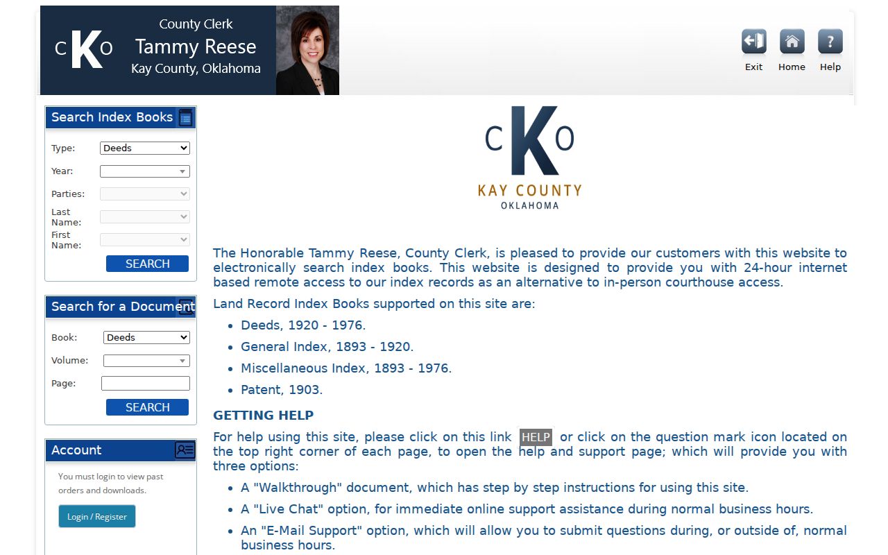
Use its coverage labels to select the proper series before treating a blank modern search as the end of a Ponca City address history.
Ponca City Directories and Census Pairing
Ownership is only one part of who lived here before. The 1924 and 1926 Ponca City books are alphabetic, so begin with a surname. The 1930 and 1932 R.L. Polk directories include street and business organization, making them especially useful for an address. The 1938 and 1940 R.L. Polk volumes expand to all Kay County, which can reveal a move beyond city limits. The official survey also documents a gap: 1928 and 1936 were missing from the public library, and 1934 was not located. A missing listing in those years cannot prove a vacant house or a departed household.
- Write the address exactly as it appears in the deed, including direction and suffix.
- Search the nearest directory by the method its year supports, surname first in 1924 or 1926 and address first in the 1930 or 1932 street arrangement.
- Record the name, address, spouse notation, occupation, business, and any owner-status clue that the actual page shows.
- Pair the directory year with the nearest federal census released under the 72-year rule, keeping in mind that the census reflects one enumeration date.
- Search the next available directory year and compare address changes, household names, and nearby listings.
- Use obituaries or newspaper notices to test whether a move, death, or name change explains a disappearance.
The collections and their entry mechanics are detailed on the Ponca City city directory page. For a research fallback, OHS guidance recommends pairing an address and former owners with city directories, newspapers, and subdivision records. The Ponca City Library adds local newspapers, census microfilm, vertical files, genealogy reference materials, and licensed databases.
The OHS home-history guide connects addresses, former owners, and directory research.
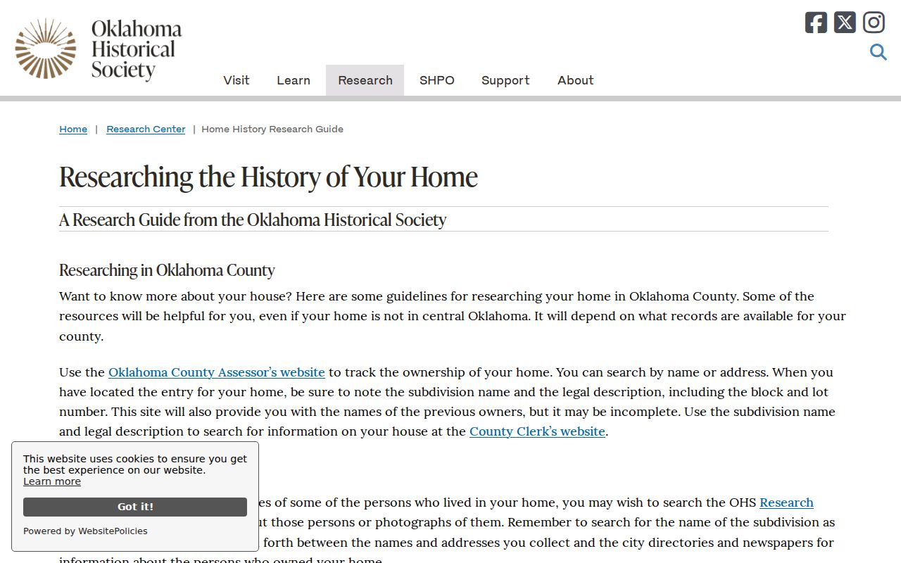
That library-and-archive route is useful when a directory image is on-site only or a licensed collection does not open remotely.
Ponca City Sanborn Maps and House Dates
Sanborn fire-insurance maps add a physical layer to a previous-resident trail. Official surveys cite local Ponca City material for 1894, 1895, 1898, 1901, 1905, 1907, 1913, 1919, 1925, 1931, and 1947. The free Library of Congress October 1898 Ponca City item contains six public-domain sheets. Compare a building’s footprint, materials, use, outbuildings, and street geometry across the map evidence.
A map can show that a structure existed in a given period or how the surrounding lots were arranged. It does not supply an occupant name or prove that a deed party lived in the house. Use the legal description, directory address, deed date, and newspaper evidence together before assigning a household to a building.
Ponca City Permit Dates, Not Occupancy Proof
Modern permit reports can date a building change after the directory era. The January 2026 monthly report from Ponca City Building Services shows Permit #, Main Address, Project Type, Workclass, District, Status, Parcel, Application Date, Issue Date, Expiration, Last Inspection, Finaled Date, Applied Online, Fee Total, Valuation, Sq Ft, Zone, and Assigned To. Those fields can establish when work was applied for, issued, inspected, or completed at an address.
A permit report is not a list of residents and does not prove that every person at an address was an owner, applicant, or occupant. No interactive municipal permit-search portal was located. For an older or non-posted record, use the Building Services request route at 580-767-0383 and provide the address, parcel, permit number, or date range. The January 2026 permit report is a field-level example, not a complete archive.
Note: Treat a permit as a construction or change-date lead, then verify household and ownership questions with the separate records that answer them.
Closing a Ponca City Resident Trail
When a name disappears from a directory or deed sequence, check the Gateway to Oklahoma History, library microfilm, and obituary notices for a move, death, family relationship, or business reference. Search numbered streets in both numeric and written form, and test directional prefixes as initials and full words. A probate case can identify heirs, personal representatives, petitions, or decrees, but restricted or sealed filings remain unavailable. The OSCN docket portal is an online lead for district-court cases, while the Kay Court Clerk keeps the local files.
Use death records with the correct limits. Oklahoma death index events are public after five years, while certified copies remain eligibility-controlled. Birth index events are public after 20 years, and birth certificates also require qualifying authority, authorization, or other eligibility under the state’s vital-record framework. The Oklahoma Vital Records Service explains current ordering channels. A death-index hit is not a death certificate, and neither index should be stretched into proof of an address.
Lawful use. Ponca City house-history research can support family history, heir questions, property history, and civic curiosity. Do not use addresses or names to monitor, threaten, harass, or track a living person.
Ponca City Address Records and Legal Descriptions
An address can fail because its form changed, not because the house has no record trail. Official research did not locate a verified citywide street-renumbering or renaming year. Instead, preserve the historic spelling, test old and modern directional prefixes, write numbered streets both ways, and keep addition names with the address. A legal description, lot and block, or section-township-range entry can then join the parcel card, plat, deed, map, and directory even when the mailing label shifts.
That process respects the boundary between map and title. Kay County mapping uses deeds, surveys, and plats to update GIS, but the county says its tax maps are for tax purposes only and are never used for conveyance. The recorded deed and its legal description remain the ownership bridge. A careful trail labels each conclusion by source: deed for recorded transfer, directory or census for household context, map for physical setting, and permit for work dates.
Note: Record every address variant beside its legal description so a later search can be repeated without silently merging different parcels.